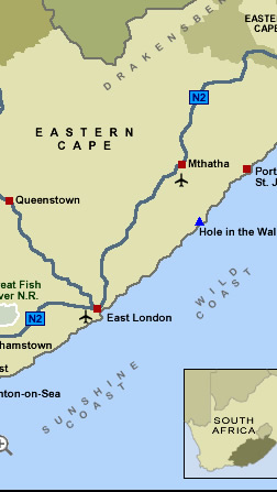
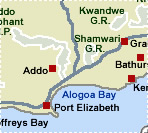
Interactive Map of Eastern Cape
Eastern Cape
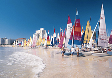
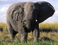
Where else can you surf the world’s biggest
waves, ski down the only snow slopes in Africa, go on a `big seven’ safari,
visit the birthplace of Nelson Mandela and bungee the highest bridge
in the southern
hemisphere? The Eastern Cape of South Africa, of course.
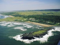
The second largest of South Africa’s
nine provinces, the diverse Eastern Cape landscape ranges from the
dry desolate Great
Karoo to the
steamy forests of the Wild Coast and the Keiskamma Valley. The area also
embraces the fertile Langkloof, renowned for its rich apple harvests,
and is cradled by the mountainous southern Drakensberg.
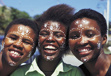
Here, widespread hills are juxtaposed
with sandy beaches; here small-town South Africa comes to greet you – gently offering hospitality and
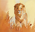
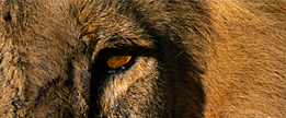
friendship and asking for nothing in return. This is where the `big seven’ roam,
and where the tropical forests share their space with abundant birdlife
and nature at its most generous.
 Top
Top  Return to Map
of South Africa
Return to Map
of South Africa
 For
tourist information and activities in the
Eastern Cape, click More
Eastern Cape For
tourist information and activities in the
Eastern Cape, click More
Eastern Cape
For further information about South Africa, click More
South Africa
|