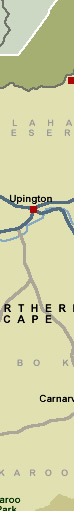
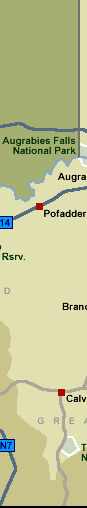
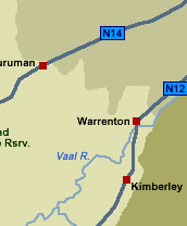
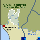
Interactive Map of the Northern Cape
Northern Cape
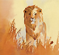
Home to the ancient San people, the Northern Cape is about wide-open
spaces, an utterly beautiful coastline and a number of unique national
parks offering the tourist a very different experience of the South
African landscape. This province boasts a colourful history and
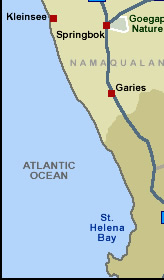
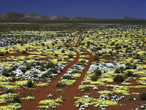
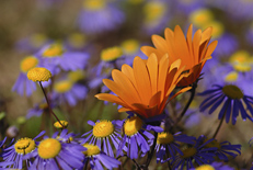
a variety of cultural tourist attractions and is particularly well
known for its incredible annual floral display that takes place
in Namaqualand.
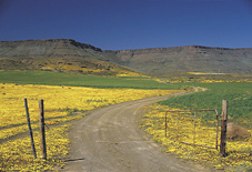
The Northern Cape lies to the south of the mighty Orange River and comprises
mostly desert and semi-desert. The landscape is characterised by vast
arid plains with outcroppings of haphazard rock piles. The cold Atlantic
Ocean forms the western boundary. This region covers the largest area
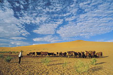
of all the provinces yet has the smallest population. The last remaining
true San (Bushman) people live in the Kalahari area of the Northern Cape.
The whole area, especially along the Orange and Vaal rivers, is rich
in San rock engravings. The province is also rich in fossils.
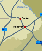
Apart from a narrow strip of winter-rainfall area along the coast, the Northern Cape is a semi-arid region with little rainfall in summer. The weather conditions are extreme cold and frosty in winter, and extremely high temperatures in summer. Sutherland, in the Hantam Karoo, is one of the coldest towns in southern Africa with an average winter minimum is -6º Celsius. In winter, snow often blankets its surrounding mountains.
Accommodation
in the Northern Cape Province of South Africa
There are various hotels and
guest houses available throughout the Northern Cape Province. If
you are interested in visiting the Northern Cape, please contact us and
we will help arrange an itinerary and accommodations for you.
 Top
Top  Return to Map
of South Africa
Return to Map
of South Africa
 Tour
the Cape: Cape
Town Tours Tour
the Cape: Cape
Town Tours
For
tourist information and activities in the
Northern Cape, click More
Northern Cape
Photo
Gallery: Northern
Cape Photo Gallery [Page
2]
For further information about South Africa, click More
South Africa
|