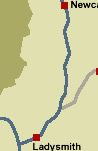
KwaZulu-Natal Province
Interactive Map of KwaZulu-Natal
KwaZulu-Natal
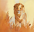
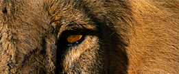
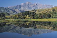
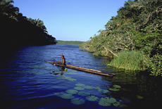
Washed by the warm waters of the Indian Ocean, KwaZulu-Natal (KZN) with its subtropical coastline, sweeping savannah in the east and magnificent Drakensberg mountain range in the west, generously caters for just about every taste imaginable.
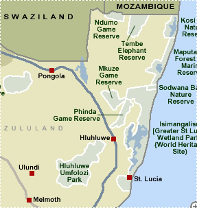
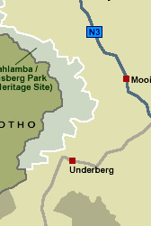
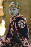
Known as the Kingdom of the Zulu, KwaZulu-Natal is a melting pot of African, European and Indian cultures. This province boasts two World Heritage Sites – the Greater St Lucia Wetland Park and the Ukhahlamba Drakensberg Park.
Traditionally, a popular destination for holiday-makers, KwaZulu-Natal is South Africa’s busiest local holiday destination.
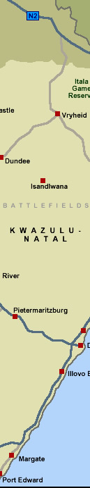
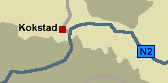
KwaZulu-Natal stretches from Port Edward in the south, to the Mozambique boundary, in the north. From its early days, the province has been the scene of many fierce battles - being the bone of contention between the Zulus and the Voortrekkers; the British Empire and Boer settlers (Anglo-Boer War); the Zulus and the British Empire.
KwaZulu-Natal has the largest population in the country with some nine million people living on 92 100 km2 of land. Seventy-five per cent of its inhabitants are black, mainly Zulu-speakers. Some 15 per cent of the population are Indian, while white people make up the remainder.
 Top Top  Return to Map
of South Africa Return to Map
of South Africa
 For
tourist information and activities in KwaZulu-Natal, click More
KwaZulu-Natal For
tourist information and activities in KwaZulu-Natal, click More
KwaZulu-Natal
For further information about South Africa, click More
South Africa
|